Tappen Bluffs | Big Reward With Little Effort
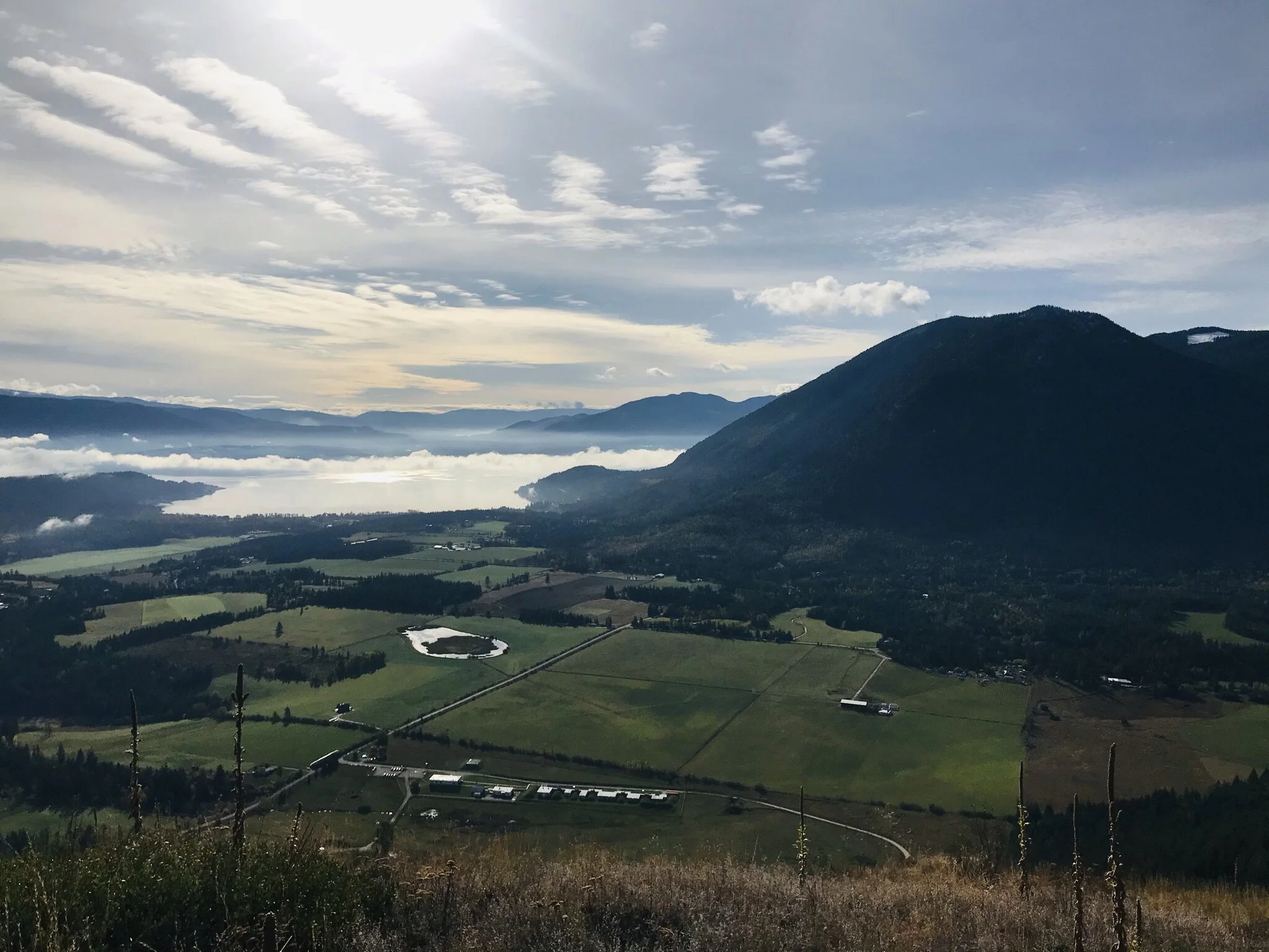
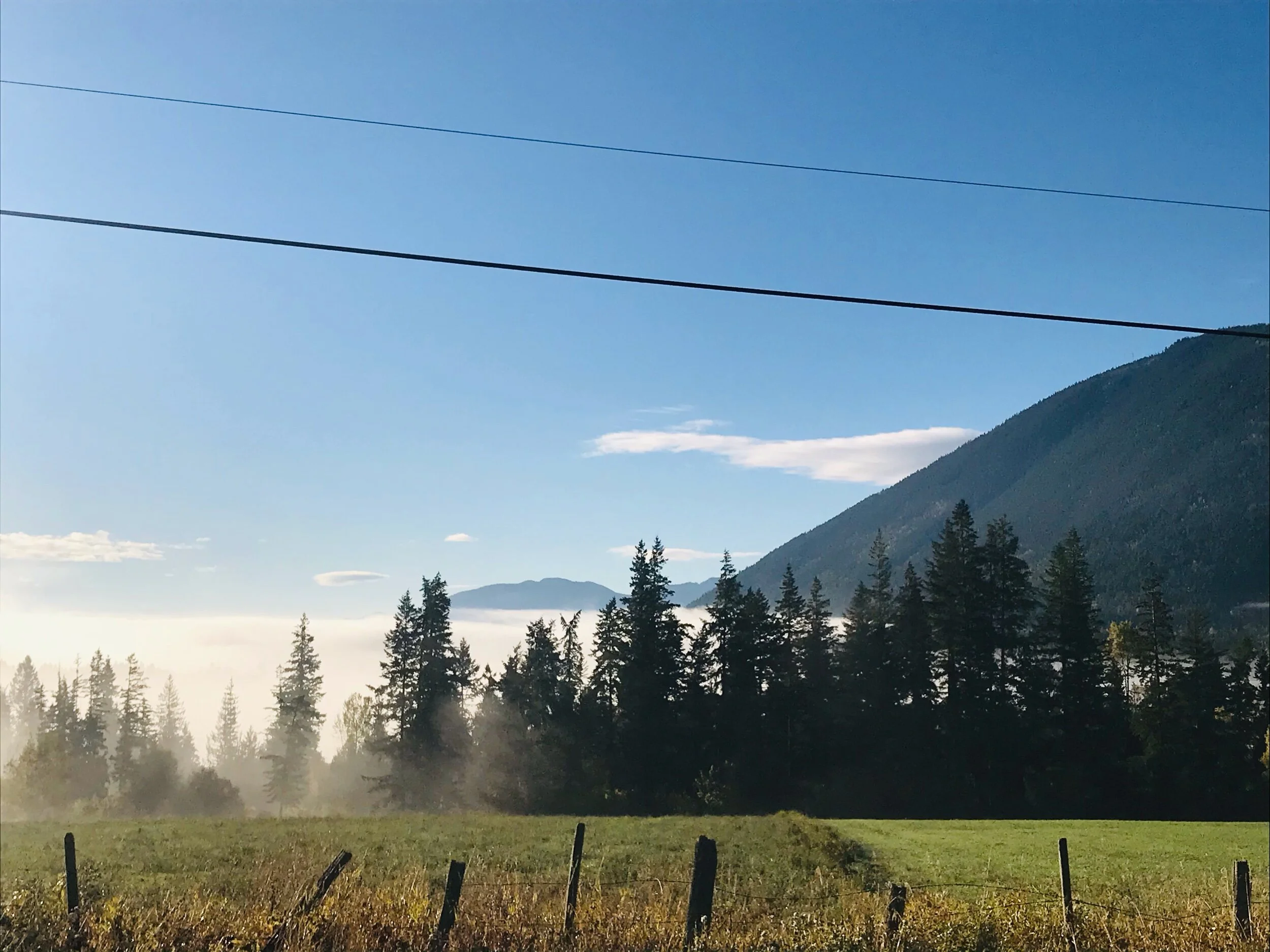
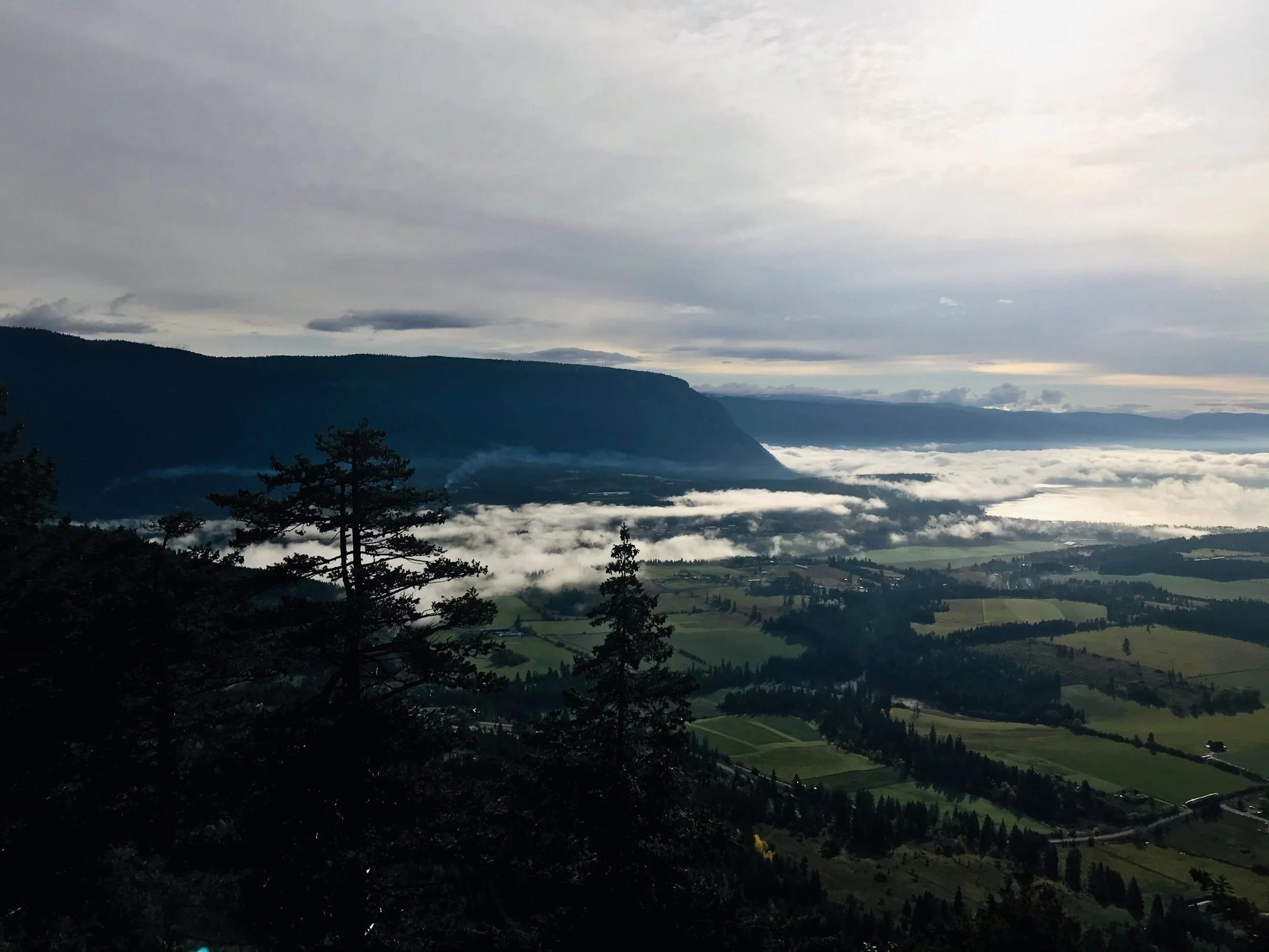
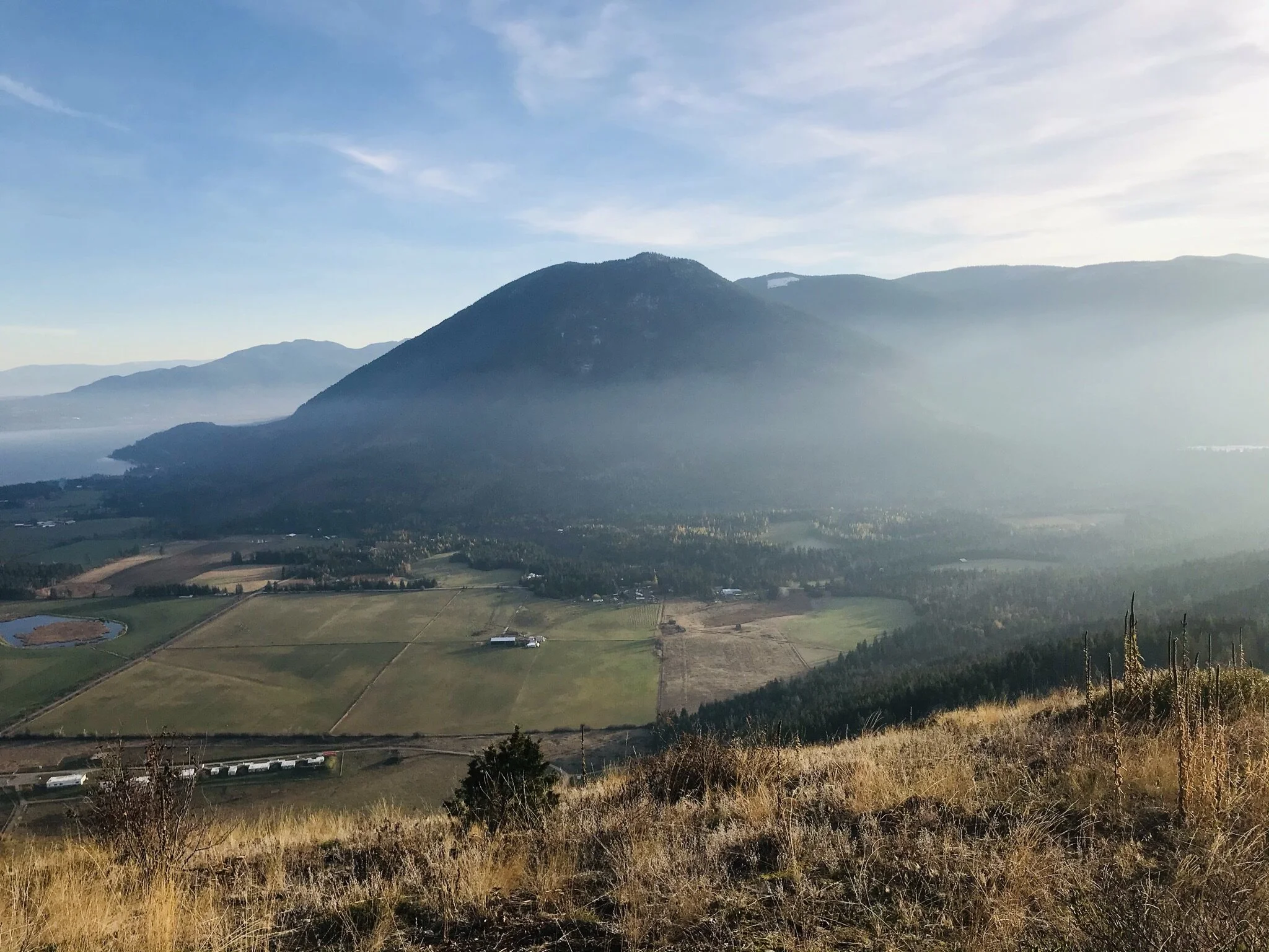
Big scenery and Shuswap skies over Tappen Valley, Tappen Bay and Mt. Tappen
Shuswap Adventure Girl
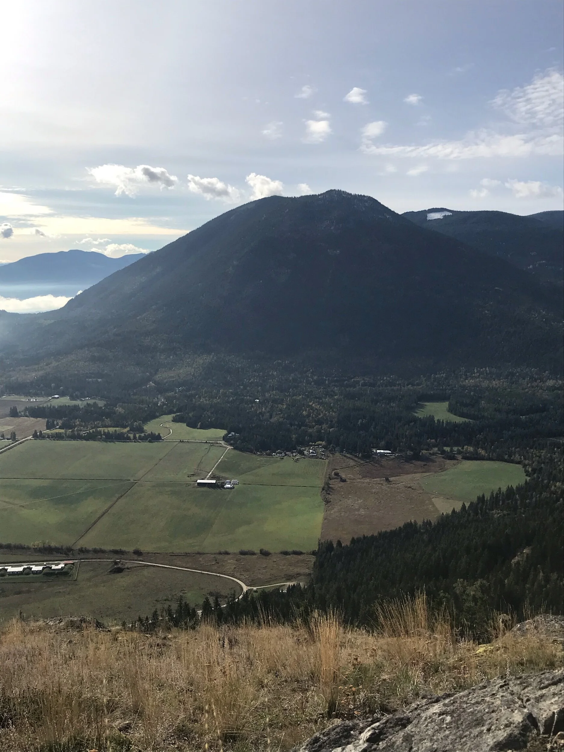
Tappen Bluffs has absolutely remarkable views and with relatively little effort to get there! Far-reaching vistas, as far as the eye can see in all directions highlight the breathtaking landscape of the Shuswap. Tappen Valley, Tappen Bay, Mount Tappen, Bastion Mountain, White lake, and the infamous peaks of the Shuswap highlands; Crowfoot Mountain and Pukeashun Mountain are surrounding you. Pukeashun Mountain, in the North Shuswap, is the highest point in the Adams Plateau, part of the Shuswap Highlands, sub-range being the Monashees and its parent range being the Columbia Mountains.
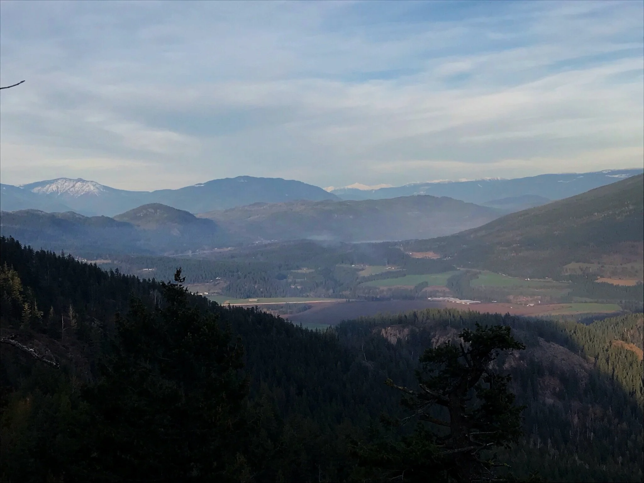
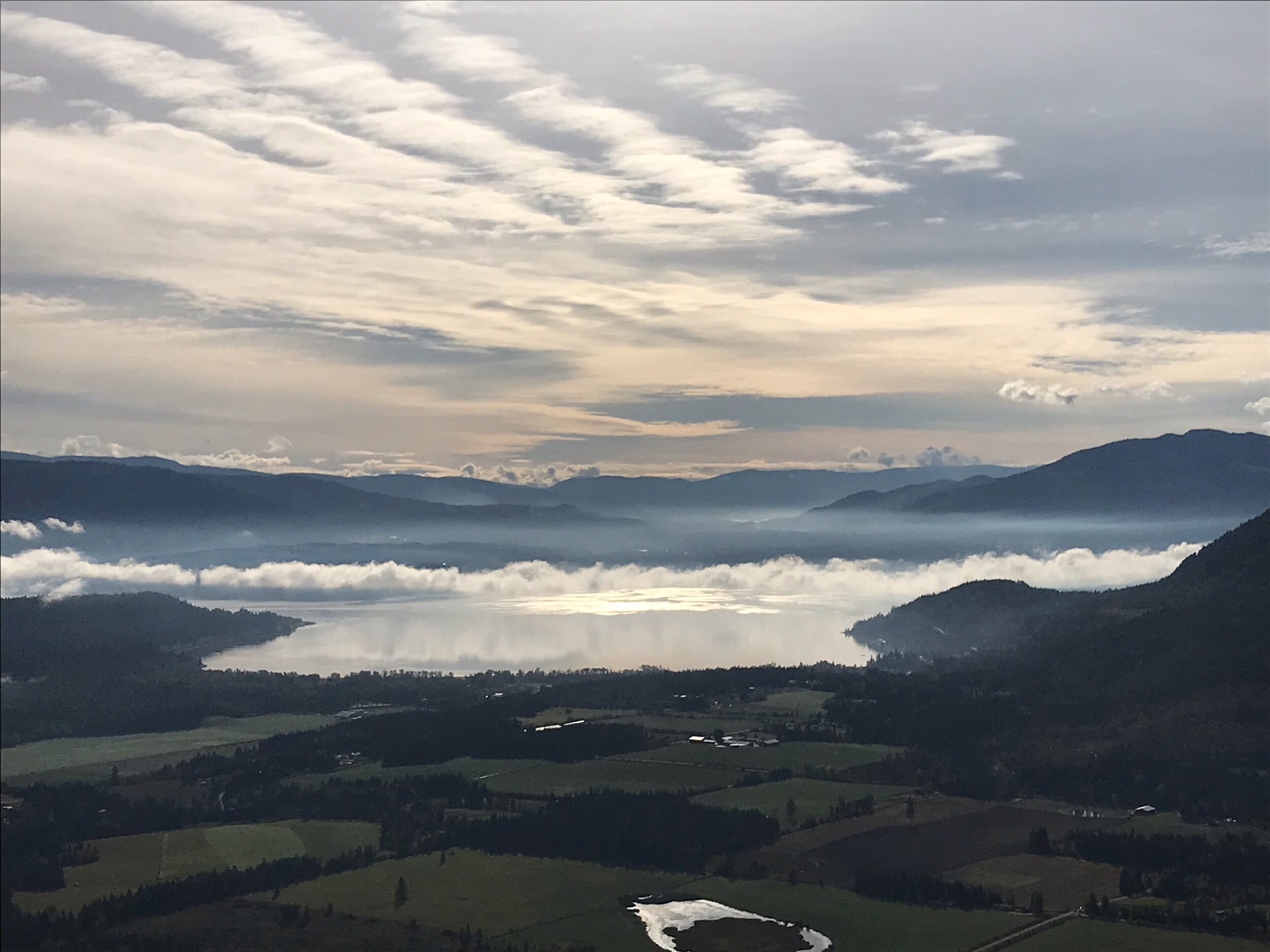
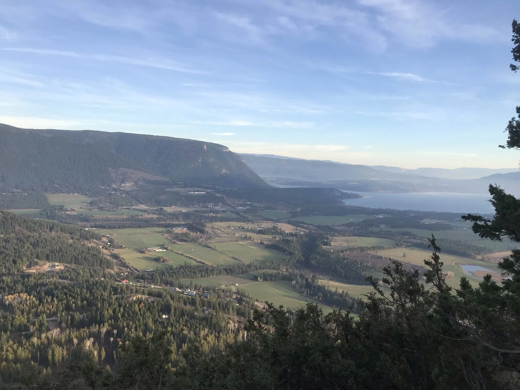
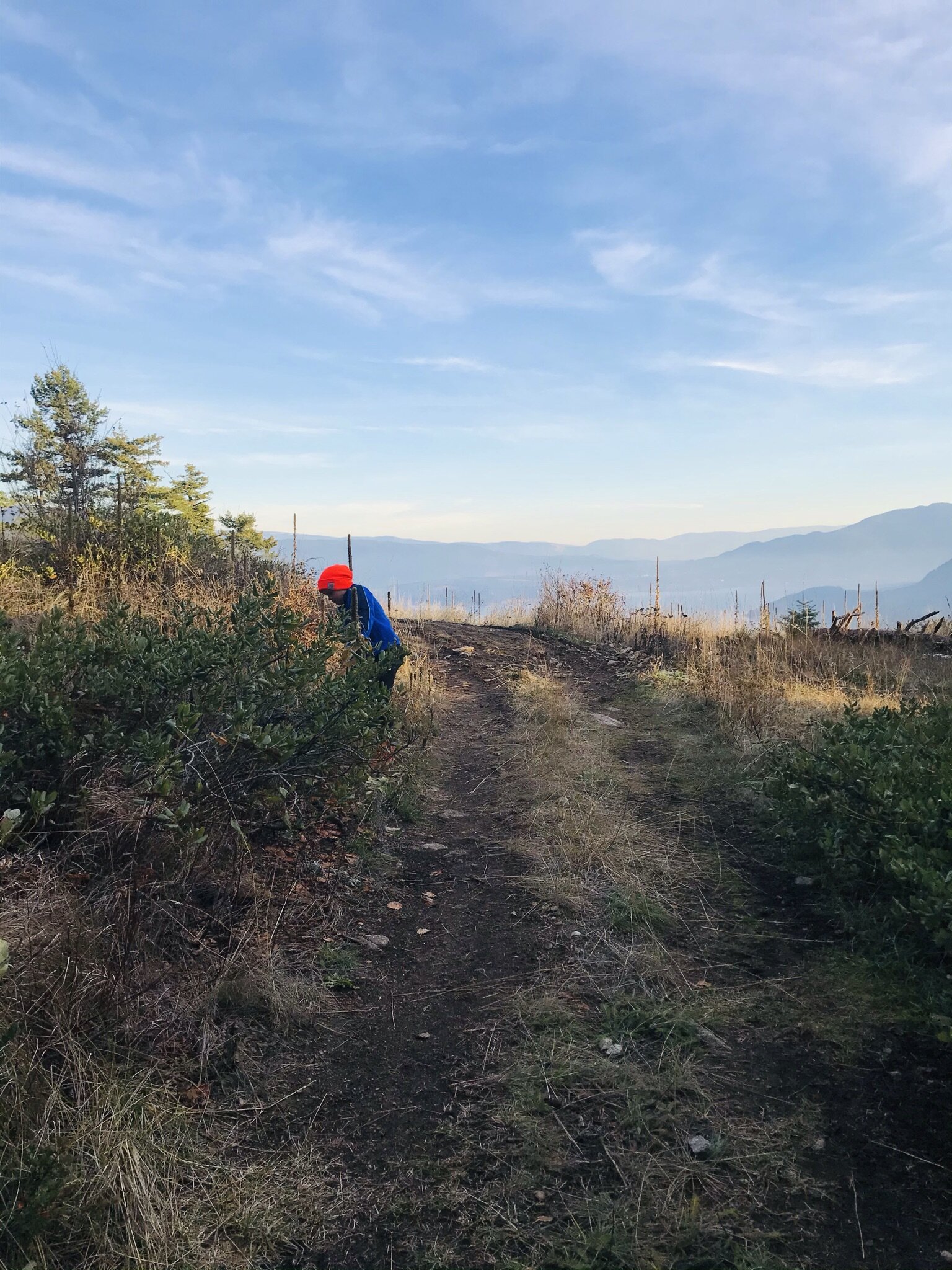
White lake, and the infamous peaks of the Shuswap highlands; Crowfoot Mountain and Pukeashun Mountain
Shuswap Adventure Girl
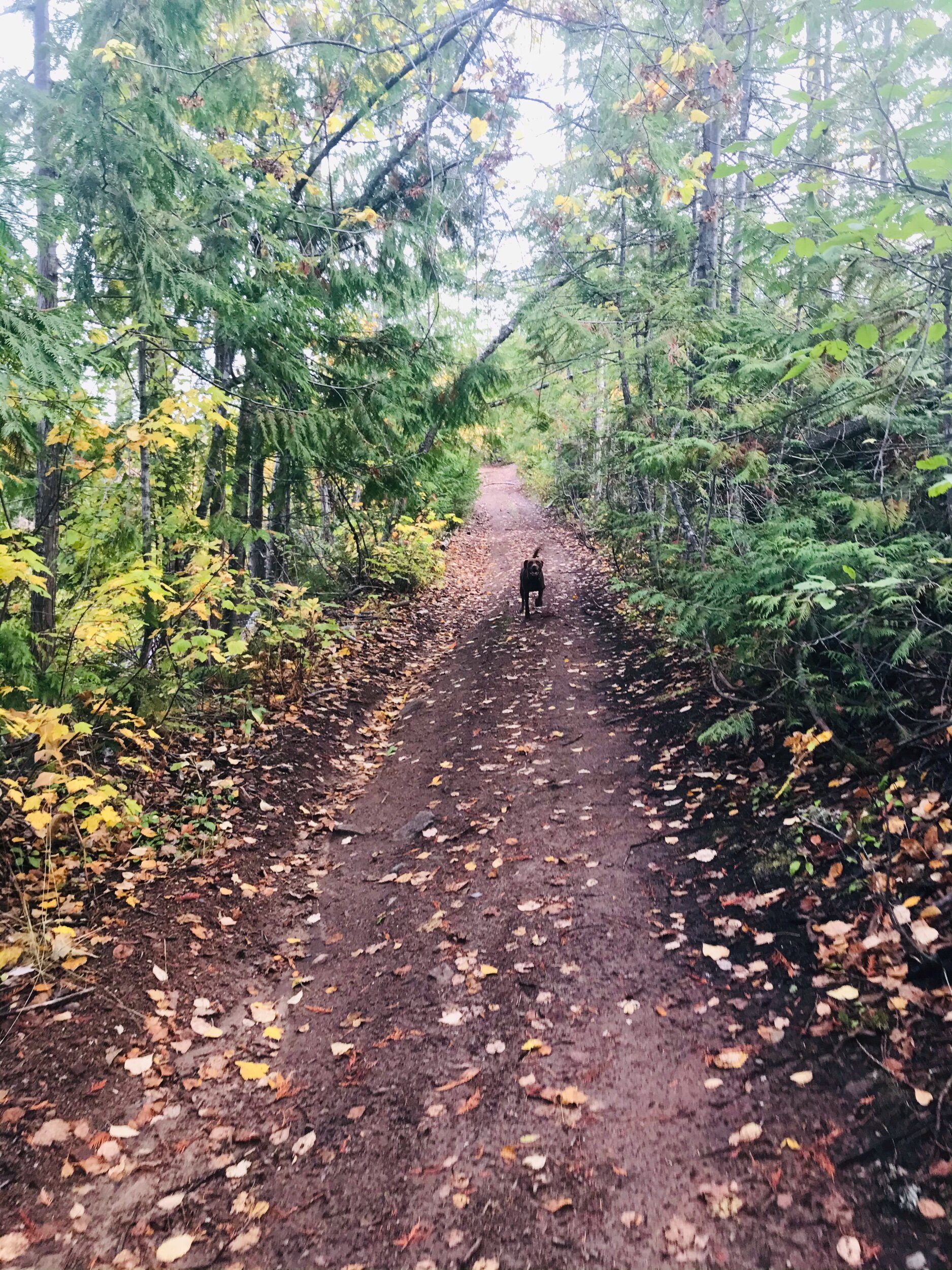
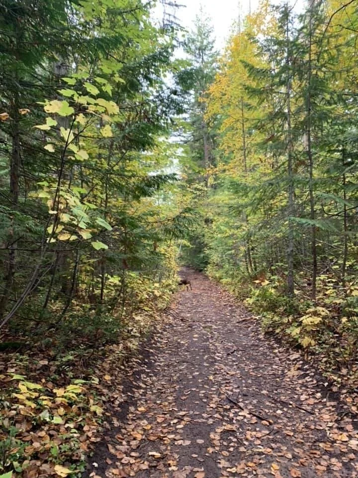
Although this is not a totally well-marked trail nor is there a clear trailhead- it does have blue flagging tape indicators on some trees. Once on the trail, it is very straight forward.
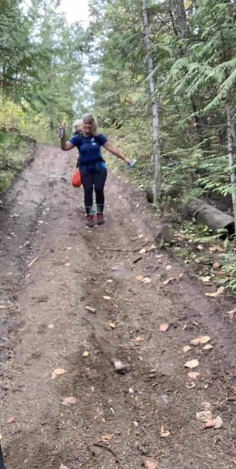
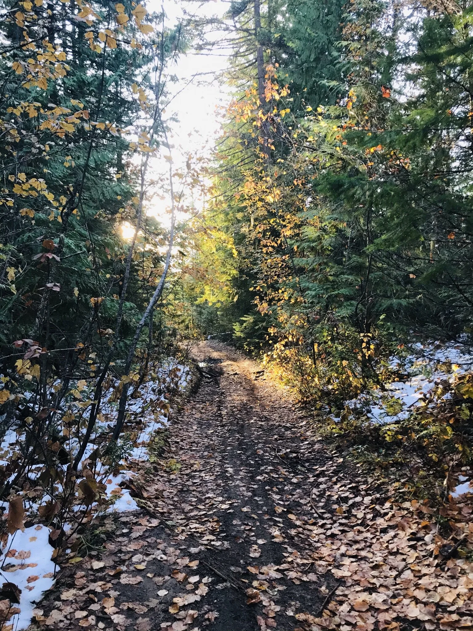
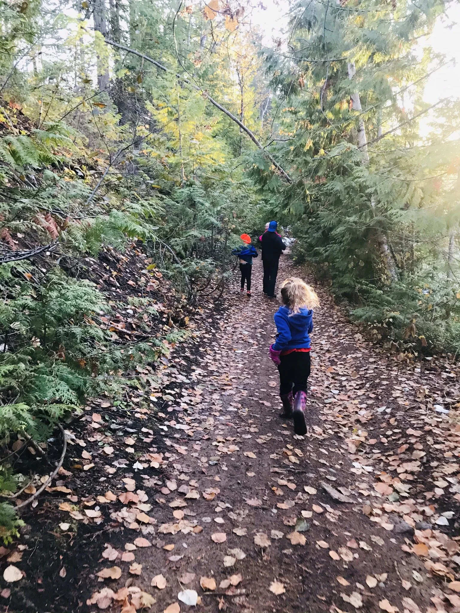
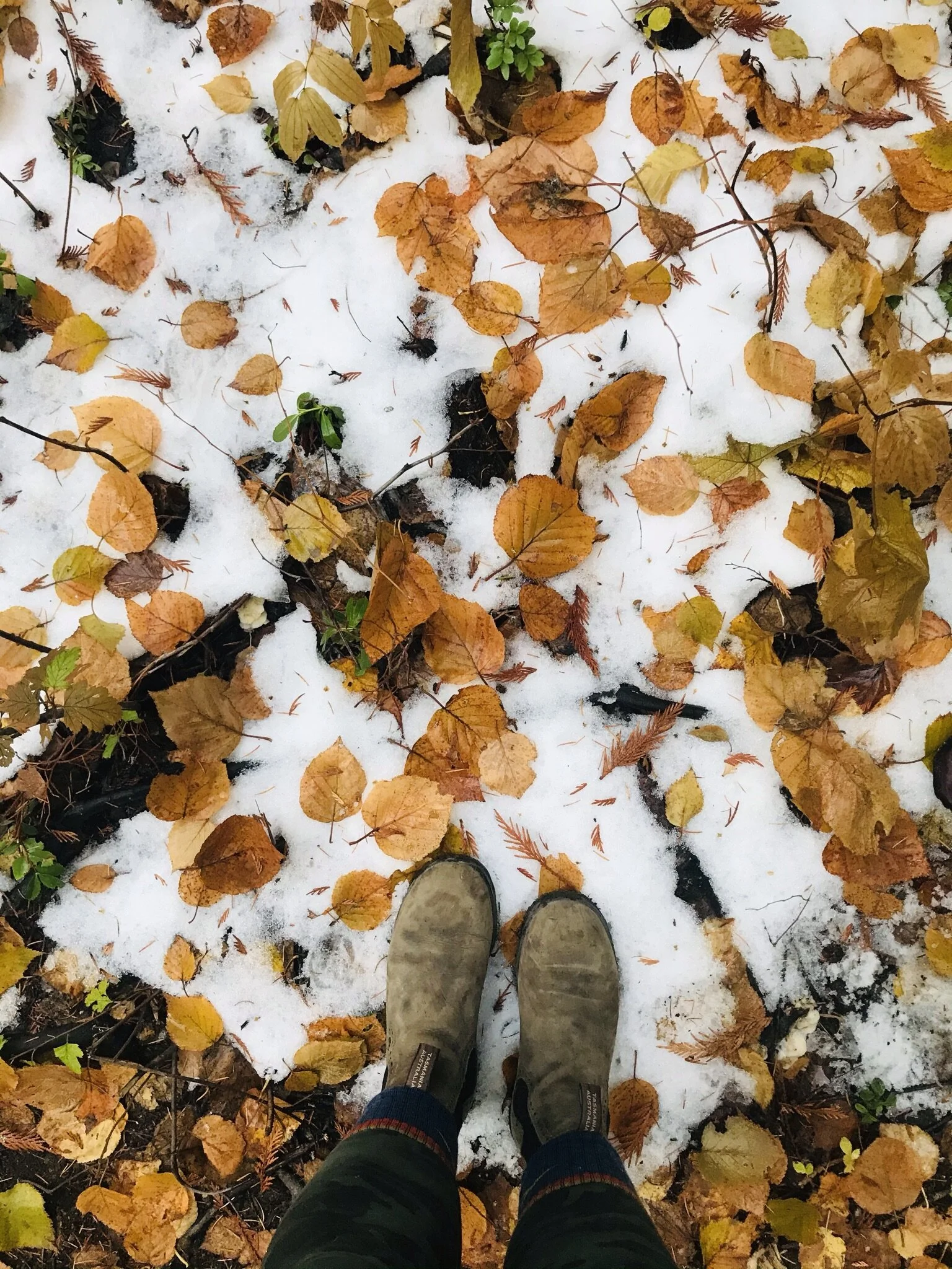
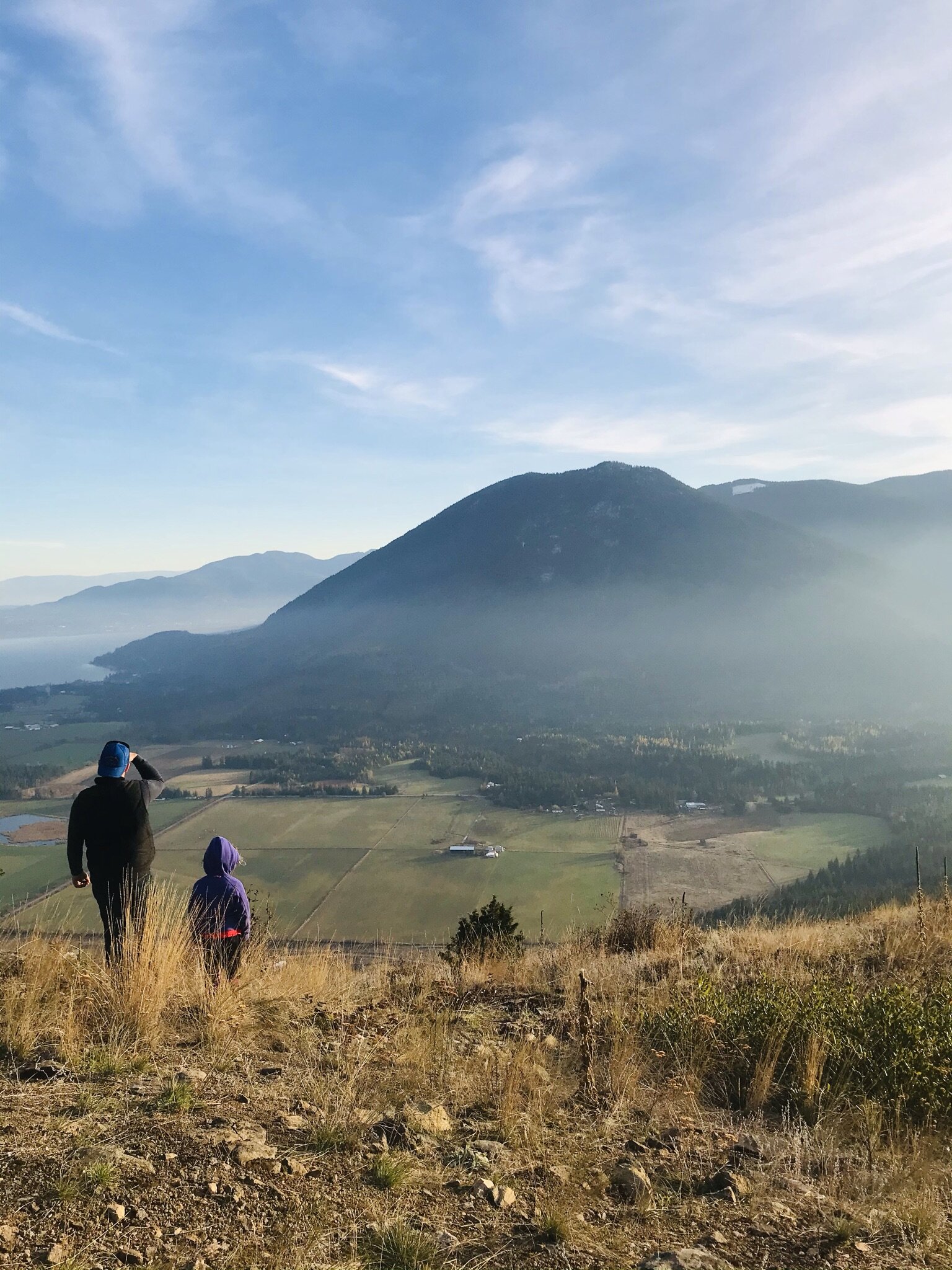
I was traveling with my long time hiking partner, Marina who has done this gem of a hike in the past. Together we set out on a crisp and sunny autumn morning. We met at the bottom of the forest service road (FSR) which is just past the Skimikin transfer station. She hopped into my 4x4 truck to travel a few kilometers up the forest service road. Although we were traveling in my truck, a car could certainly make it up no problem. You could also start your hike at the base of the FSR and hike the road but we both agree that hiking on bush roads is a tad creepy. We parked the truck in a small grassy clearing where the bluffs are in full sight in front of you and the road is about to make a sharp left upwards. We hiked up the old road until a noticeable trail slightly veers off to the right and the road seems to end. This is the path that will take you up to the bluffs. The 1.5km gradual jaunt up to the lookout was very enjoyable, especially on a beautiful fall morning, the forest was aglow with color. The last 5-10 minute stretch is a very steep incline and I wished I had had a pole to stabilize me and my heavy load. As per typical, I had my happy little 2-year-old toddler on my back with a huge mitt-full of candy and treats.
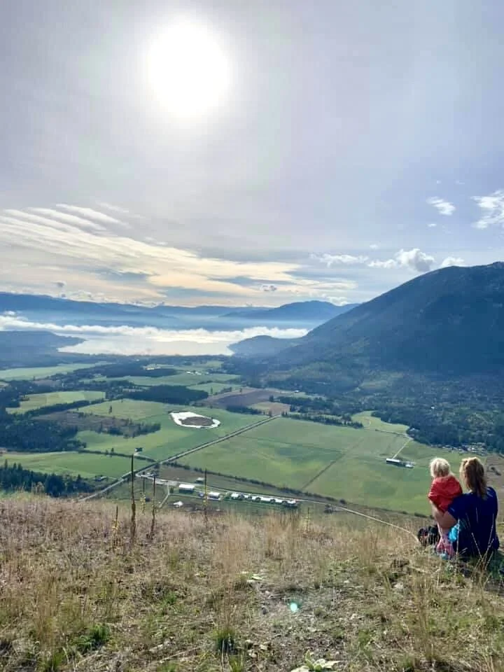
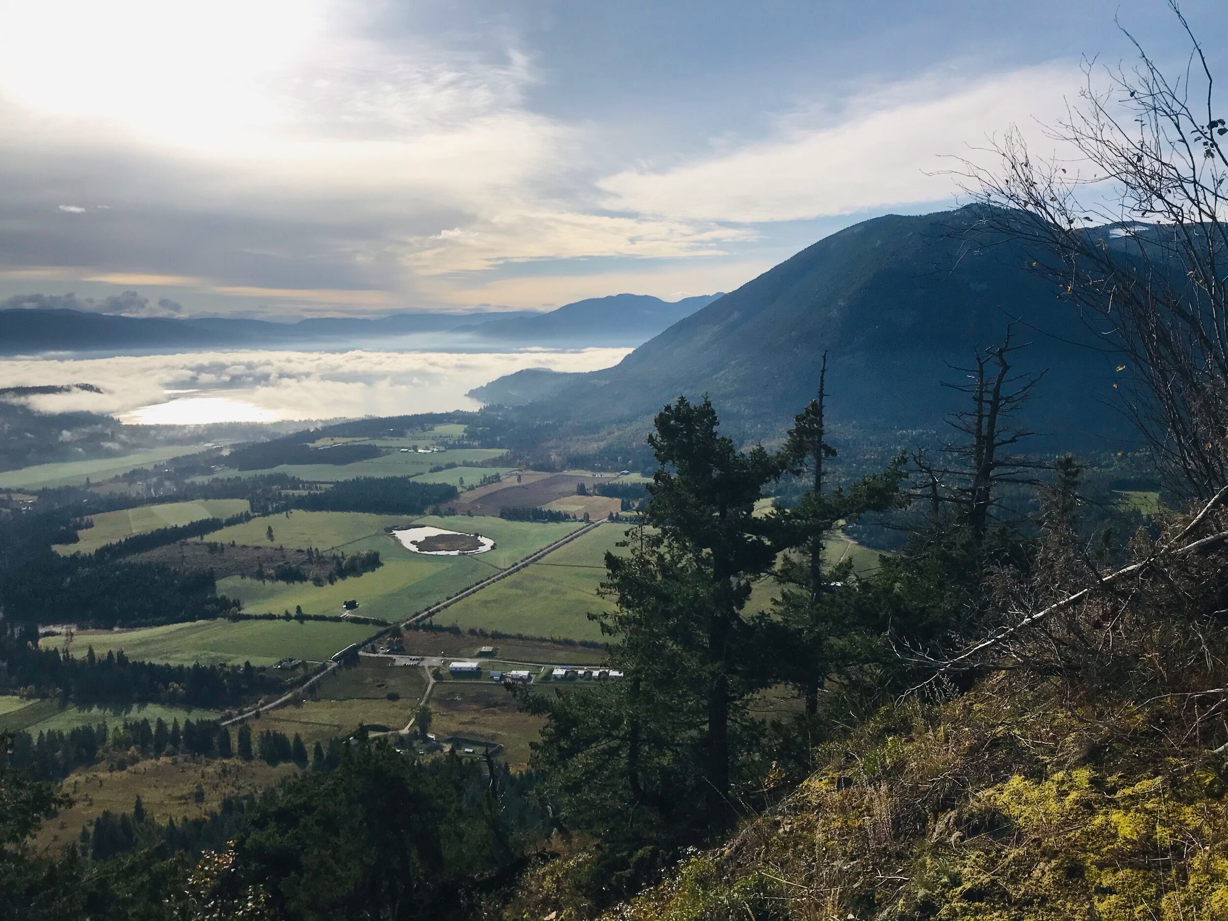
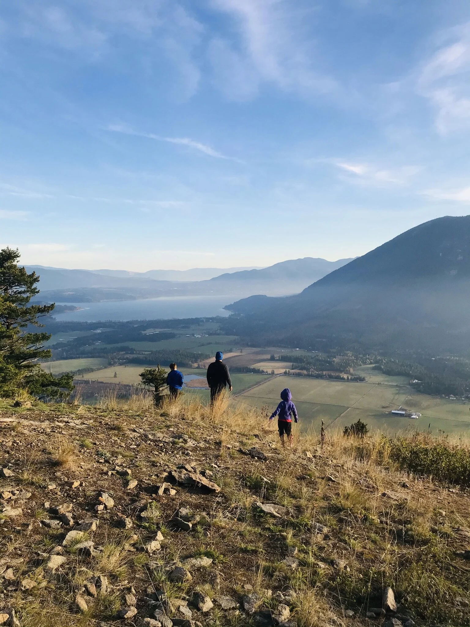
The top opens up to a jaw-dropping panoramic view of our gorgeous region! The lake, the sky, the clouds, the farmlands, and the mountains were wondrous! I have to say, it is one of the best viewpoints around! And we are surrounded by incredible viewpoints here in the Shuswap. The short hike, with the epic finale, made this a perfect quick weekday morning trek.


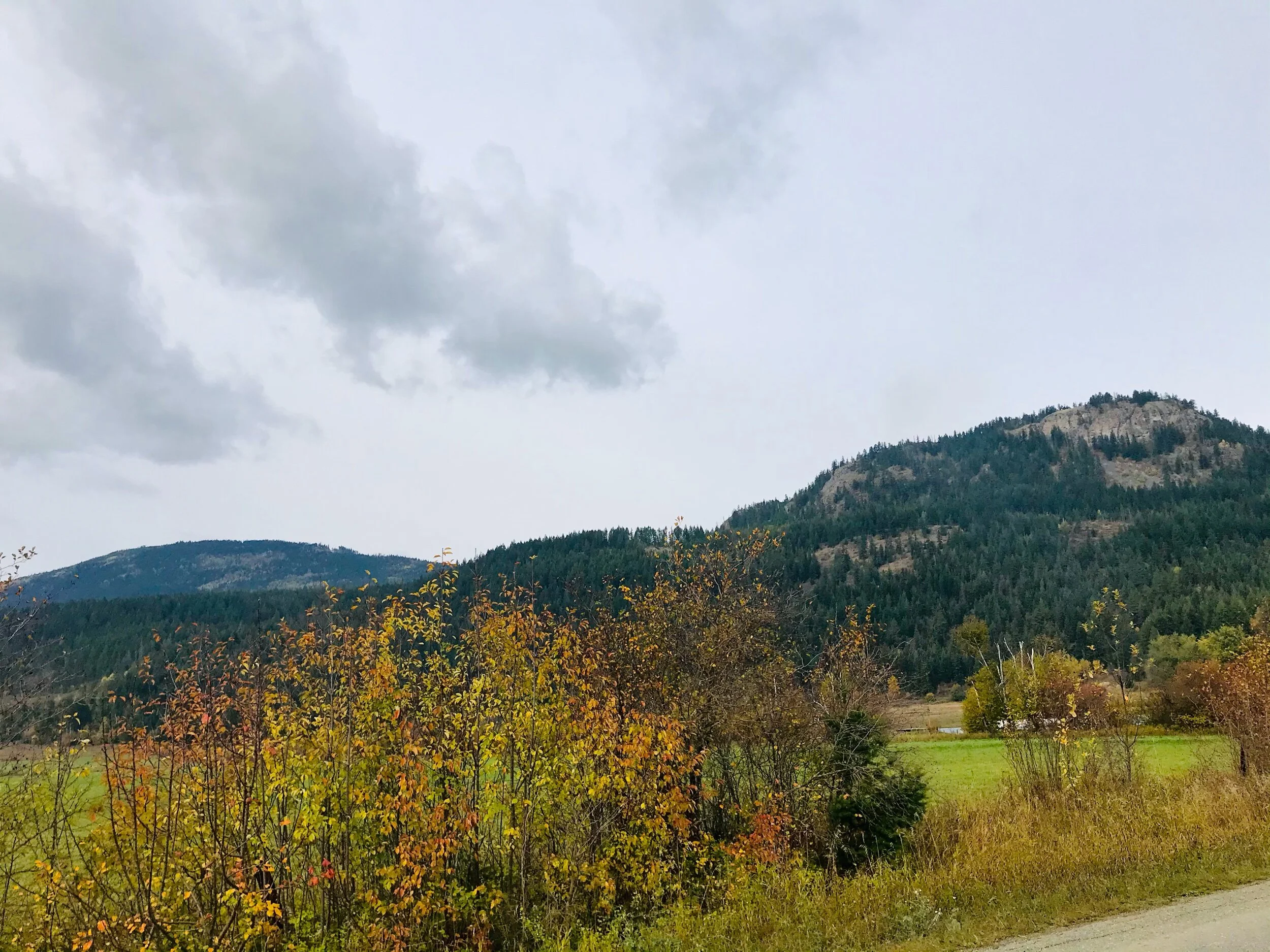
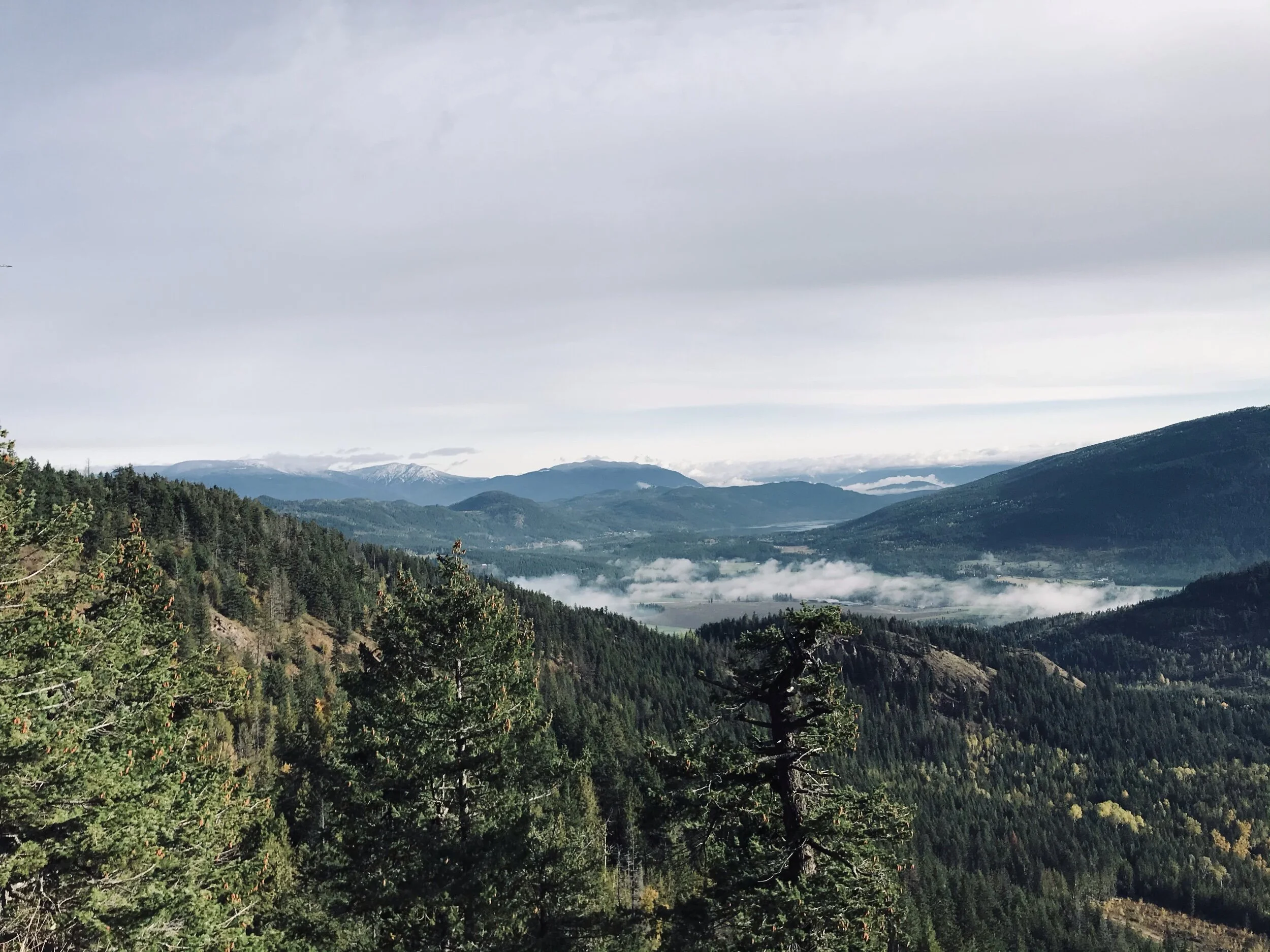
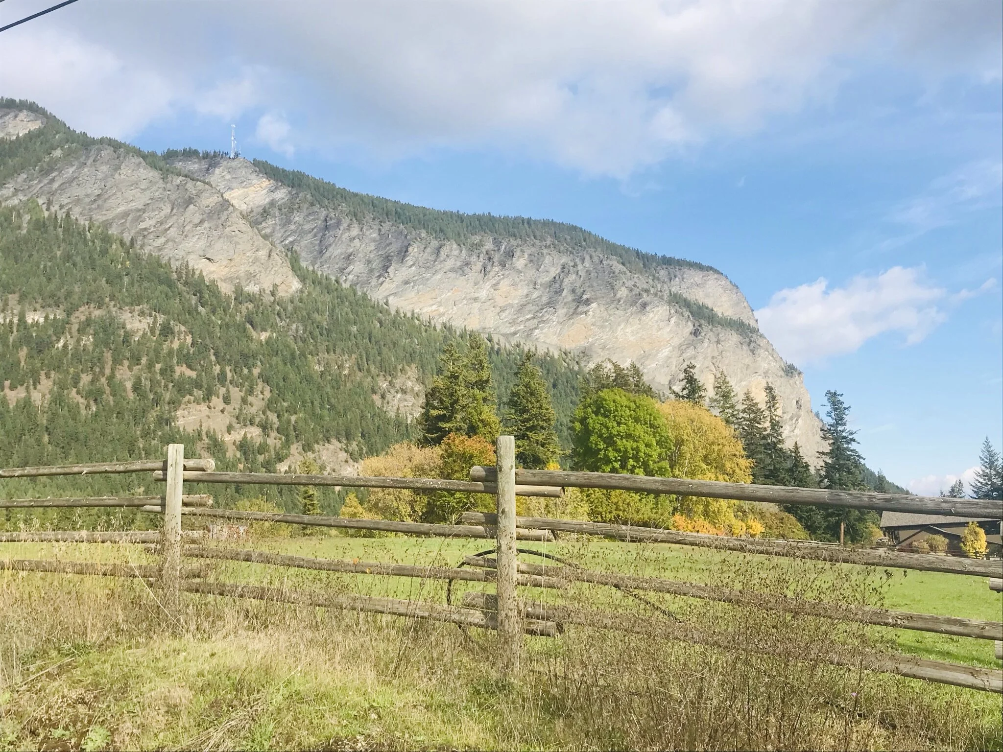
The rocky bluffs seen from Tappen Valley Rd.
Shuswap Adventure Girl
The next time I did this hike I brought my young family of five up! It was a Sunday afternoon and we decided to drop the chores and get out for a hike. We did not want something too long or difficult as it was late in the day and I had already done a huge hike that same morning! We drove up the forestry road a little further to the somewhat roughed-in and unmissable trailhead. All three of the kids hiked themselves up and we played at the top for a little while, picking out recognizable landmarks below. It was fun! and it is always neat for the kids to see their homeland from above! Bring a picnic and spend the time wandering around the top, exploring the bluffs, and soaking in those sensational Shuswap views!
Category: Return, scenic w/ views, steep edges
Kid-Friendly: Yes but keep back from steep edges, especially on the Northern side looking out towards White Lake area
Distance: +/- 8.5 km roundtrip from the base of the forest service road (FSR), just off of Skimikin rd. We parked approx., 2.75 km up the FSR and hiked 1.5 km to the bluffs.
Time: ranging from 1 - 3.5 hours depending on where you hike from and how much time spend at the top.
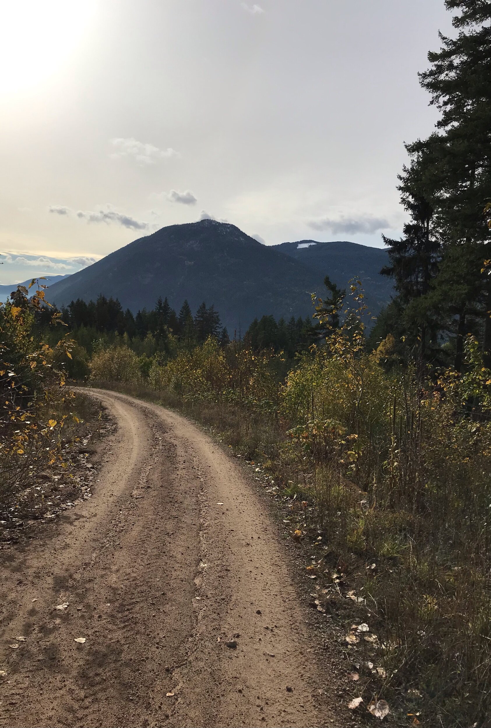
Directions from Salmon Arm: Follow the trans-Canada for about 14 km west of Salmon Arm, or 18 km east of Sorrento, and turn west onto Tappen Valley Rd. After approx. 4 km turn left/west onto Skimikin Lake Rd, then travel approx. 2.5 km to just past the CSRD Waste Transfer site. Turn right on the next Forestry Service Road on the right just before another bend in the road (watch for a yellow sign nailed to a tree). Park here, just off Skimikin Road if you plan to walk the FSR up. Or drive up the approx. 1.3 km to the trail, following the main FSR upwards. The route takes FSR Forestry Road #130 which starts immediately to your left and goes uphill just past the signs.
*Please note: We drove up the FSR approx. 2.75 km and parked the truck in a small grassy clearing where the bluffs are in full sight in front of you and the road is about to make a sharp left upwards. We hiked up the old road until a noticeable trail veers off to the right. This is the path that will take you up to the bluffs. The return to the truck was 3km. The next time we parked at the trailhead and made for a shorter return hike.